WELCOME TO THE LYRIC POETRY WEBSITE |
|
GUIDE TO THE SOA TRAILS:
A HIKER'S COMPANION TO THE HISTORIC TRAILS
OF THE LAKE PLACID SHORE OWNERS ASSOCIATION
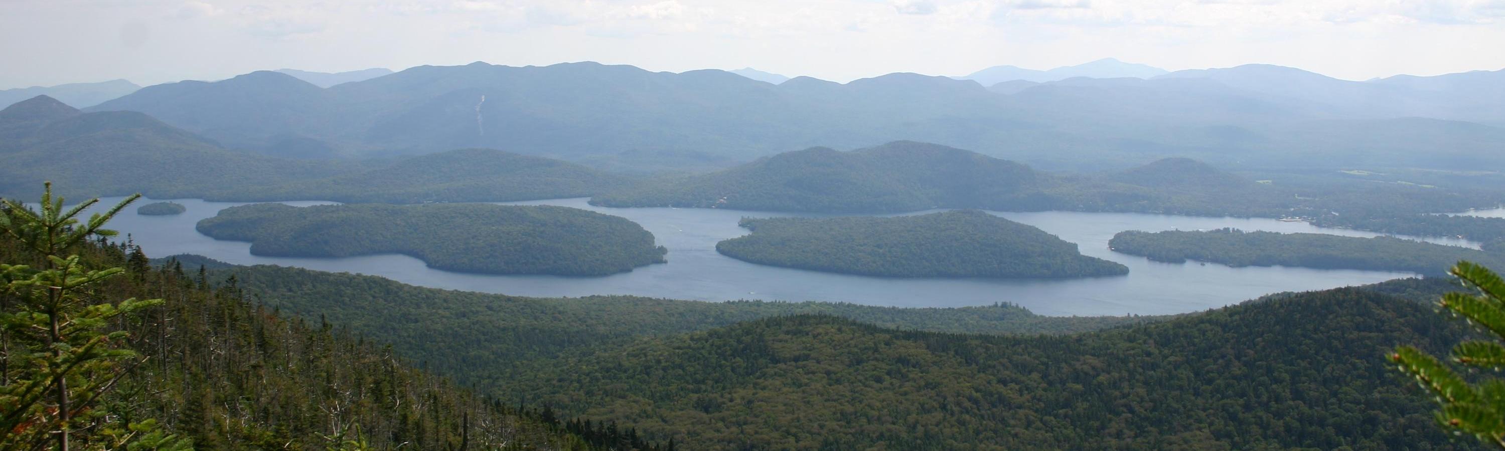
Over the course of nine seasons I restored 17 miles of hiking trails
in the Lake Placid watershed, using hand tools only. These trails were
originally cut and maintained by the Shore Owners' Association (SOA),
most of them during the nineteenth century. Now, for the first time,
a written trail guide is available to the public. Within these pages
you will find an account of why I did this, advice on how to locate
long-neglected trails, instructions on trail maintenance with hand tools,
a brief history of the SOA trails, detailed descriptions of the entire
17-mile system, and a map showing all of the SOA trails. Included are trails
to McKenzie Mtn., Moose Mtn., Bartlett Pond, Loch Bonnie, and Eagle Eyrie,
and the Lake Shore Trail from Whiteface Inn to Whiteface Landing.
Contact: richardhayesphillips@yahoo.com
Also available at:
THE MOUNTAINEER, 1866 Route 73, Keene Valley, NY, 12943, (518) 576-2281
CURRENT TRAIL CONDITIONS
DAMAGE FROM IRENE IS EXTENSIVE. ENTIRE GROVES OF TREES ARE UPROOTED.
BARTLETT POND TRAIL TO McKENZIE, TWO BROOKS TRAIL TO MOOSE,
MINNOW BROOK TRAIL TO MOOSE, AND LAKE TRAIL TO MINNOW BROOK
ARE ALL OPEN AND CLIPPED AS OF SEPTEMBER 13, 2011
RIDGE TRAIL FROM McKENZIE TO MOOSE CLEARED AND CLIPPED AS OF OCTOBER 1, 2011
ALTON BYPASS FROM MINNOW BROOK TO FALLS BROOK
CLEARED AND CLIPPED AS OF OCTOBER 10, 2011
CONNECTOR FROM TWO BROOKS TRAIL TO LOCH BONNIE WILL NOT BE MAINTAINED
ALL OTHER TRAILS CLEARED AND CLIPPED AS OF AUGUST 17, 2010
|
|